 http://www.lib.utexas.edu/maps/africa/south_africa_reliefmap.jpg
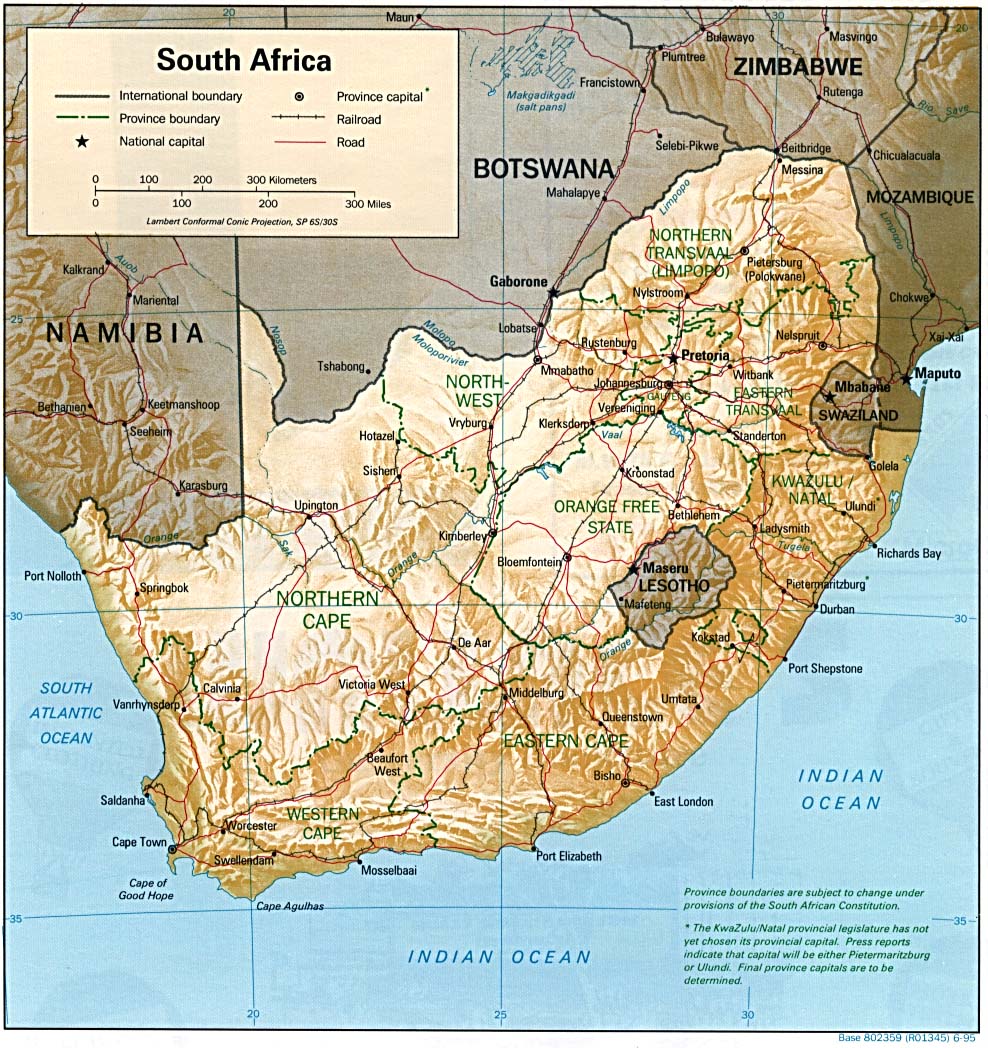
This is a map demonstrating the elevation changes and cities and roads of South Africa. On this map North is oriented as up and so forth. There is also a legend showing what all of the symbols mean in the map. There is the use of shadows that demonstrate the changes in elevation. I hope everyone enjoys this map is a very insightful look into the physical features of South Africa. This is a lanbert conformal conic projection meaning that the shape of the country is preserved and the map demonstrates true shape. Looking at the landscape, there are a few mountains towards the south east of South Africa. This is where there are mountains such as table mountain and things like that. Interior South Africa have a lot of rolling hills and pastures and a lot of farming happen within the valley's of these hills and mountains.
No comments:
Post a Comment