http://upload.wikimedia.org/wikipedia/commons/d/d7/Canada_topo.jpg
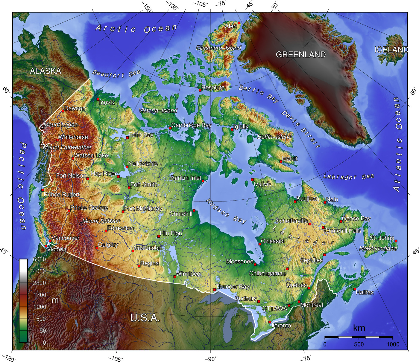
This is a Topographic map of Canada. This map uses color and shadows to show the elevation changes within Canada. It makes it very easy to see mountain ranges and plains within Canada. It represents elevation heights of physical land. This is a map due to the fact that it can be used by people who maybe mountain climbing or just want to learn more information about Canada and how societies have adapted to their environment. This is very great for those who want to learn more about the areas geographic features which makes this an important map.
Enjoy!
No comments:
Post a Comment